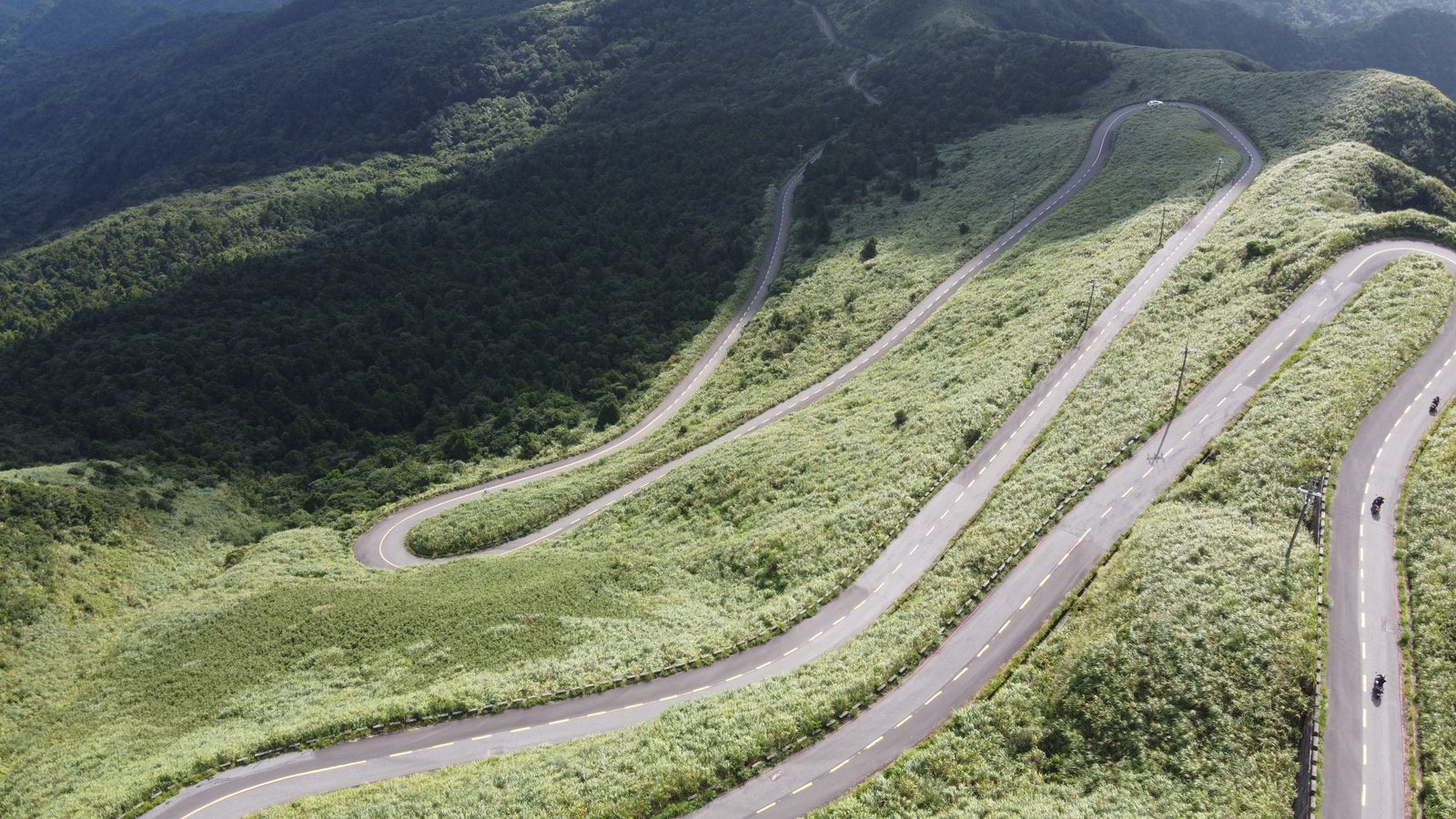
A road that’s great in a car isn’t automatically great on a motorcycle. Cars want a nice view through the windshield; motorcycles want curve density, road surface, and a sense of being genuinely engaged with the riding, not just scenery going by. The five roads below are ones the riding community actually rates, for reasons that go beyond pretty photos: real curve counts, real elevation, real technical demands.
Tail of the Dragon (US-129), North Carolina/Tennessee
Eleven miles, 318 curves: the Tail of the Dragon is the road most American riders mean when they talk about “the Dragon.” It runs from Deals Gap, North Carolina to the Tennessee state line with no guardrails and steep embankments on both sides, which is part of why Car and Driver named it one of the most dangerous roads in America. At Deals Gap, a “tree of shame” hung with crashed motorcycle parts is a blunt reminder that this isn’t a road to rush on a first pass. Ride it once at a sane pace before deciding whether to chase a faster one.
Cherohala Skyway, North Carolina/Tennessee
Forty-three miles connecting Tellico Plains, Tennessee to Robbinsville, North Carolina, the Cherohala Skyway climbs from under 900 feet to just over 5,400 feet, with more than 15 miles running above the 5,000-foot mark. It’s a different kind of challenge than the Dragon (long sweeping curves through the Cherokee National Forest rather than tight technical switchbacks), and the two roads sit close enough together that riders often combine them into a single day.
Iron Mountain Road (US-16A), South Dakota
Seventeen miles between Keystone and Custer State Park pack in more than 300 curves, 14 switchbacks, three stone tunnels, and three wooden “pigtail” bridges that loop back on themselves to gain elevation. The tunnels were deliberately aligned so Mount Rushmore appears framed in the exit, a detail worth riding slow enough to notice. Locals recommend riding it south to north for the better sightlines from the saddle.
Mount Blue Sky Scenic Byway (formerly Mount Evans), Colorado
At 14,130 feet, this is the highest paved road in North America, and it tops out higher than the Pikes Peak Highway. It’s strictly seasonal: the byway typically opens around Memorial Day weekend and closes by Labor Day, weather permitting, and reservations are required for the upper section. The reward is riding above treeline on pavement most vehicles never reach; the cost is thin air, sudden weather, and a road that demands full attention rather than a cruising pace. If you want Colorado altitude later in the year, Trail Ridge Road in October runs on a different calendar entirely, and in each of the last four seasons it stayed open past the date the park stopped requiring reservations.
Angeles Crest Highway (SR-2), California
Sixty-six miles over the San Gabriel Mountains north of Los Angeles, cresting at 7,903 feet at Dawson Saddle, with two unlit tunnels and stretches that run along exposed cliff edges. The stretch between Islip Saddle and Big Pines closes most winters for snow and rockfall, typically from the first snowfall into May or June, so check current conditions before planning around it: this is a road that changes character with the season more than most on this list.
One road that belongs in this conversation but isn’t on this list: the Blue Ridge Parkway. It deserves more than a paragraph, so it gets its own dedicated guide instead.
None of these roads forgive a rider who hasn’t prepared. Before tackling any of them, work through the mechanical and gear checks in how to plan a motorcycle road trip: tires and brakes matter more on 300 curves than they do on a highway. If you’re stringing several of these together into one longer trip rather than a single weekend, the pace and maintenance math change too; see what to know about a cross-country motorcycle trip.