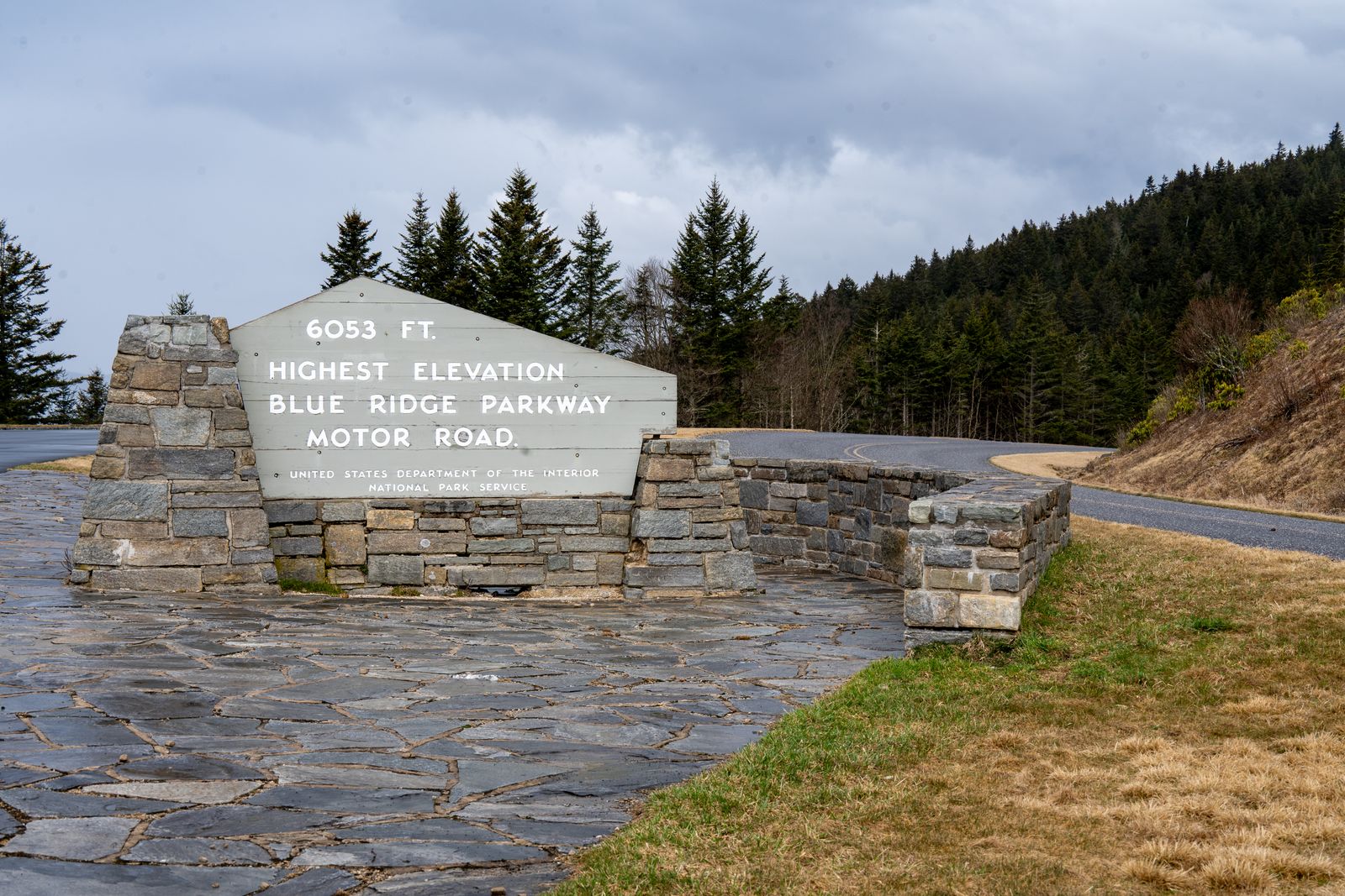
The Blue Ridge Parkway shows up on every “best scenic drives” list for good reason: 469 miles connecting Shenandoah National Park in Virginia to the Great Smoky Mountains in North Carolina, a 45 mph speed limit, and no billboards or commercial trucks by design. What those lists usually skip is what actually matters once you’re riding it rather than driving it: three things that catch unprepared riders every season.
Plan your fuel around a road with zero gas stations
There are no gas stations anywhere on the Blue Ridge Parkway. None, by design, for the entire 469 miles. That makes tank range a real criterion rather than a spec-sheet detail, and it is one of the numbers the touring motorcycle comparison lays out side by side. Fuel exists a few miles off the parkway at highway crossings, and the stretches between them aren’t evenly spaced: useful exit points fall around mile 0 (Waynesboro, VA), mile 60 (Big Island, VA), mile 120 (Roanoke, VA), mile 200 (Fancy Gap, VA), mile 290 (Boone/Blowing Rock, NC), and mile 388 (Asheville, NC). But the southern stretches run long remote sections with genuinely few facilities. The rule riders use: take your bike’s real-world range, subtract 25 miles, and treat that as your actual limit before you need to be looking for an exit sign, not still deciding whether to risk it.
Know the tunnels before you’re in one
The parkway runs through 26 tunnels (one in Virginia, twenty-five in North Carolina), ranging from 150 feet at Rough Ridge to 1,434 feet at Pine Mountain. Most aren’t lit, which means riding from bright mountain sunlight into near-total darkness in the space of a few seconds; if your visor is tinted, expect a genuine adjustment period rather than a minor dimming. Approach every tunnel at a pace that accounts for not seeing what’s inside it yet: road debris, a stopped vehicle, or the tunnel’s uneven pavement don’t announce themselves before your eyes adjust.
Treat winter and shoulder-season riding as genuinely unpredictable
Sections of the parkway at high elevation and near tunnels close for the season well before anywhere nearby feels wintry, and they reopen on their own schedule rather than a fixed calendar date. The specific hazard is black ice on shaded, north-facing curves that can persist even when it’s 60°F in the valley towns below. And because the Park Service limits de-icing chemicals to protect the surrounding forest, ice lingers longer here than on a normal state highway. Check the National Park Service’s road status page the morning you ride, not just the week before, since sections open and close through the same day depending on conditions.
Let the 45-mph limit set your pace, not fight it
No commercial trucks and a hard 45 mph limit make the Blue Ridge Parkway a fundamentally different kind of ride than a highway crossing. This is a road built for a slow, multi-day pace, not a stretch to knock out en route to somewhere else. Riding it in a single long day is possible, but it defeats the point: the overlooks, the elevation changes, and the tunnels are the destination here, not obstacles between two endpoints. If you’re treating this as one leg of a longer trip, the cross-country motorcycle trip guide covers how to budget slower, scenic days like this one against the faster interstate stretches on either side.
None of this replaces the basics: check the motorcycle road trip planning guide before you go, and if the Parkway has you thinking about other rides in the same category, the best scenic roads for a motorcycle trip covers five more. Before you plan any of it for this autumn, check which mileposts are actually open: the Blue Ridge Parkway in fall works through the closure map segment by segment.