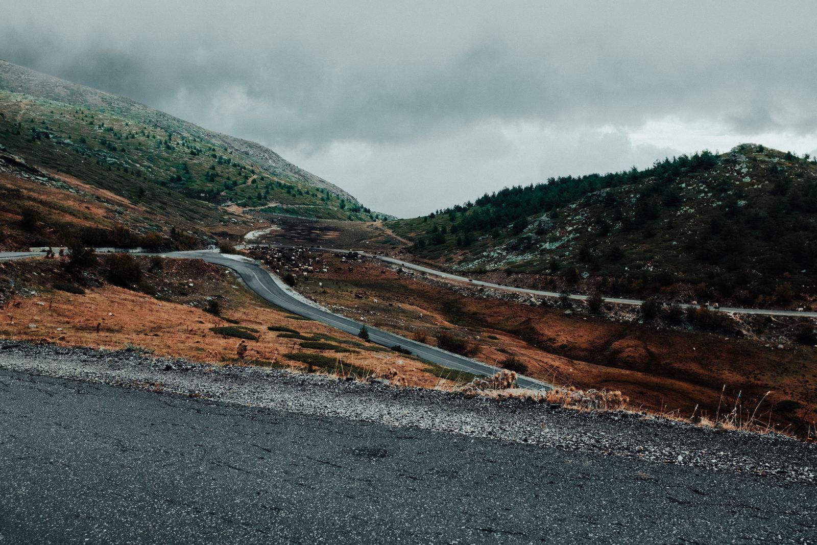
Rocky Mountain National Park stops requiring a timed entry reservation on October 12, 2026. Trail Ridge Road does not close on October 12, 2026. Those are two different dates, and the gap between them is the best week or two of motorcycle riding in northern Colorado.
Almost every guide to riding Trail Ridge tells you to go in July, which is when the reservation windows sell out and you sit at an entrance station in full gear waiting for a lane. Mid to late October is the opposite: no reservation, no queue, and 48 miles of the highest continuous paved road in the country mostly to yourself. The catch is that the road might already be shut when you get there. Here’s how to plan around that risk instead of pretending it doesn’t exist.
The two dates, and why nobody puts them together
Timed entry reservations are required to enter Rocky Mountain National Park from May 22 through October 12, 2026, between 9 a.m. and 2 p.m. That permit covers Trail Ridge Road and everywhere else in the park except the Bear Lake Road corridor, which runs on its own permit from 5 a.m. to 6 p.m. through October 18, 2026. One reservation per vehicle per day, a two hour entry window, and a $2 processing fee on Recreation.gov.
The Park Service says Trail Ridge Road “normally closes in mid-October.” That sentence is why riders write the trip off. It’s also, in practice, pessimistic. Here is when the road actually closed to through travel in each of the last four years, measured against October 12 as the reference date:
| Season | Closed to through travel | Days past October 12 |
|---|---|---|
| 2022 | October 24 | 12 |
| 2023 | October 18 | 6 |
| 2024 | October 25 | 13 |
| 2025 | November 14 | 33 |
Four years, four closures, every one of them later than October 12. The 2025 season ran a full month past the reservation deadline. The Park Service publishes the full table of opening and closing dates going back to the 1930s. It stops at 2009, but it carries the number that settles the argument: the average winter closure date has been October 23, eleven days after this year’s reservation requirement ends: nps.gov/romo/learn/photosmultimedia/opening_closing_trr_ofr.htm.
This is a gamble. Here’s how to hedge it
One storm ends the season. The road sits at 12,183 feet at its crest, with 11 miles above 11,500 feet, few guardrails and no shoulders, which is exactly why the Park Service doesn’t try to keep it plowed. The Park Service’s own wording, in the release announcing the 2022 closure, is that “Closure points on the road may fluctuate this fall,” which is to say the gates move up and down the mountain with the weather rather than sitting on one line.
So don’t build a trip that only works if Trail Ridge is open. Build a loop where Trail Ridge is the prize and everything else stands on its own. The route below does that: two other Continental Divide passes on days one and three, both of them low enough to stay open, with Trail Ridge in the middle. If the gates are up when you get to Grand Lake, you ride back out the way you came over Willow Creek Pass and down US 40, and you have still had a good weekend.
Book refundable lodging on both ends, and check the recorded road status line at (970) 586-1222 the morning you ride, not the night before.
The three day loop
| Day | Route | Miles | High point |
|---|---|---|---|
| Day 1, Fort Collins to Grand Lake | CO 14, then CO 125 | About 170 | Cameron Pass, 10,276 ft |
| Day 2, Grand Lake to Estes Park | Trail Ridge Road, US 34 | 48 | 12,183 ft |
| Day 3, Estes Park to Black Hawk | Peak to Peak Byway, CO 7, 72, 119 | 55 | Nederland area |
Day 1: Fort Collins to Grand Lake, about 170 miles
Head northwest out of Fort Collins and pick up CO 14 into the Cache la Poudre canyon. This is the Cache la Poudre North Park Scenic Byway, 101 miles to Walden with a stated driving time of three hours, and it tops out at Cameron Pass, 10,276 feet. The canyon stretch is tight, low speed and river grade for the first fifty miles, then it opens up and climbs. Canyons hold shade and cold air well into the morning, so leave later than you think.
Walden is your fuel and lunch stop, and it’s the last real town before Granby. From Walden, CO 125 runs south over Willow Creek Pass and drops to US 40 near Granby. This is the quiet half of the day. Two lanes, long sightlines, cattle, and very little traffic. From Granby it’s a short run north on US 34 to Grand Lake.
Day 2: Grand Lake to Estes Park, 48 miles, and take all day
Forty-eight miles is a ninety minute ride anywhere else. Here it’s the whole day, and it should be.
Ride it west to east, Grand Lake to Estes Park, and ride it late morning. Two reasons. First, you climb out of the shaded Kawuneeche Valley rather than descending into it at the end of a cold day. Second, the alpine section is warmest between roughly 11 a.m. and 3 p.m., and in October that window is the whole of your comfortable riding time above treeline.
Old Fall River Road joins Trail Ridge at the Alpine Visitor Center, at Fall River Pass, 11,796 feet. It’s a one-way gravel road, eleven miles at 15 mph, and it only runs to vehicles from early July to early October anyway. In 2024 it shut to vehicles on October 8. Even if you catch it open, eleven miles of gravel at that altitude on a loaded tourer is a decision, not a bonus. Most riders should stay on the pavement. Which machine you are on matters here more than usual. The heaviest bikes in the touring segment are past 900 pounds ready to ride, and none of that weight helps on loose gravel at 11,000 feet.
Day 3: Estes Park to Black Hawk on the Peak to Peak, 55 miles
Drop south out of Estes Park on CO 7 and stay on the Peak to Peak Scenic Byway through CO 72 and CO 119. It’s 55 miles from Estes Park to Black Hawk, it’s Colorado’s oldest byway, established in 1918, and it keeps the Continental Divide on your right the entire way. If you’re collecting rides of this kind, it belongs on the same list as the best scenic roads for a motorcycle trip.
This is deliberately the easy day. It stays in the trees, never climbs above the weather, and ends within an hour of Denver, Boulder or Fort Collins.
What to wear, because this is the part that ruins the trip
The Park Service’s standing description of Trail Ridge in the closed season is “drifting snow, high winds and below-freezing temperatures above 10,000 feet.” That’s what the road is doing the week after it closes. The week before it closes, it’s doing a milder version of the same thing, and you’re riding through it at 45 mph with no windbreak on either side.
You’ll start in a valley town in the 30s or low 40s, climb about 4,000 feet, spend an hour in wind on open tundra, then drop into Estes Park in the afternoon where it may well be 70. Pack for both ends, in layers you can shed at a pullout without unpacking the bike. The general road trip packing checklist covers the rest of the kit; this is what the altitude adds:
- A genuine windproof outer shell. Mesh gear is wrong for this ride at any temperature. The wind above treeline is the problem, not the air temperature.
- Winter gloves, plus the summer pair. Cold hands on a road with no guardrails and no shoulders is the actual safety issue on this route. If your bike has heated grips, this is the trip they exist for.
- A clear or light visor. October days are short and the descent into Estes Park runs east into shadow.
- Sunscreen and water. Thin dry air burns the strip of neck below your helmet in an hour, and dehydrates you faster than the temperature suggests. Nothing is sold on the road itself.
One more thing riders underrate: your bike loses power up there. A naturally aspirated engine breathes thinner air the higher it climbs, and at 12,183 feet there is a great deal less of it than anywhere else you will ride that day. Plan your passes accordingly, particularly two up and loaded.
Fuel
There is no fuel inside Rocky Mountain National Park. All 48 miles of Trail Ridge Road, plus whatever it takes you to get to the entrance station and away from the far one, run on the tank you filled in town. Fill in Grand Lake before you start and you’ll be fine on anything, including a small tank.
Day 1 is the one that catches people. CDOT’s byway page lists no services at all across the 101 miles between Fort Collins and Walden. Treat the whole canyon as a stretch you cannot count on refuelling in: fill at the bottom, before you turn up CO 14, not at the top. Working out tank range against a map is the habit that transfers to every ride, and the motorcycle road trip planning guide works through it.
Fees, and the 2026 charge most articles haven’t caught up with
Rocky Mountain charges a separate motorcycle rate and it is lower than the car rate: $25 for one day, $30 for seven, against $30 and $35 for a car. Worth knowing, because riders routinely roll up to the kiosk expecting to pay the vehicle price. The park’s own annual pass is $70, which pays for itself on the third visit.
The genuinely new thing for 2026: non-US residents aged 16 and over pay a $100 nonresident fee on top of the standard entrance fee, and Rocky Mountain is one of the 11 parks where it applies. There’s an America the Beautiful Non-Resident Annual Pass at $250, available from January 1, 2026, which covers it. If you’re riding a rented bike from overseas with a pillion, that’s $200 on top of the gate price, per park, unless you buy the pass. One detail that matters if you’re travelling as a pair: the $250 pass covers two motorcycles, not one, so two solo riders can split it. Nobody tells you this at the rental counter.
One thing you can stop planning around: the Fall River Entrance rebuild on the east side is finished. It reopened in May 2025 with three new kiosks and a dedicated transponder lane, so the single-lane construction queue that older trip reports still warn about is gone.
The go or no-go call
Target the week of October 13 to 20, 2026. That’s after the reservation requirement drops and before the historical odds turn against you. Two of the last four seasons would have given you the road that week, one would have closed it two days early, and one would have left it open for another month.
Put Trail Ridge on day two so you have a spare day either side to move it if a front comes through, and call (970) 586-1222 that morning. If the answer is no, take Willow Creek Pass back and ride the Peak to Peak from the south. You’ll have lost the summit and kept the trip.
That’s the honest pitch: not a guaranteed ride, but the only two weeks a year when the highest paved road in the country is open, empty and free of a reservation system. Worth a coin flip.